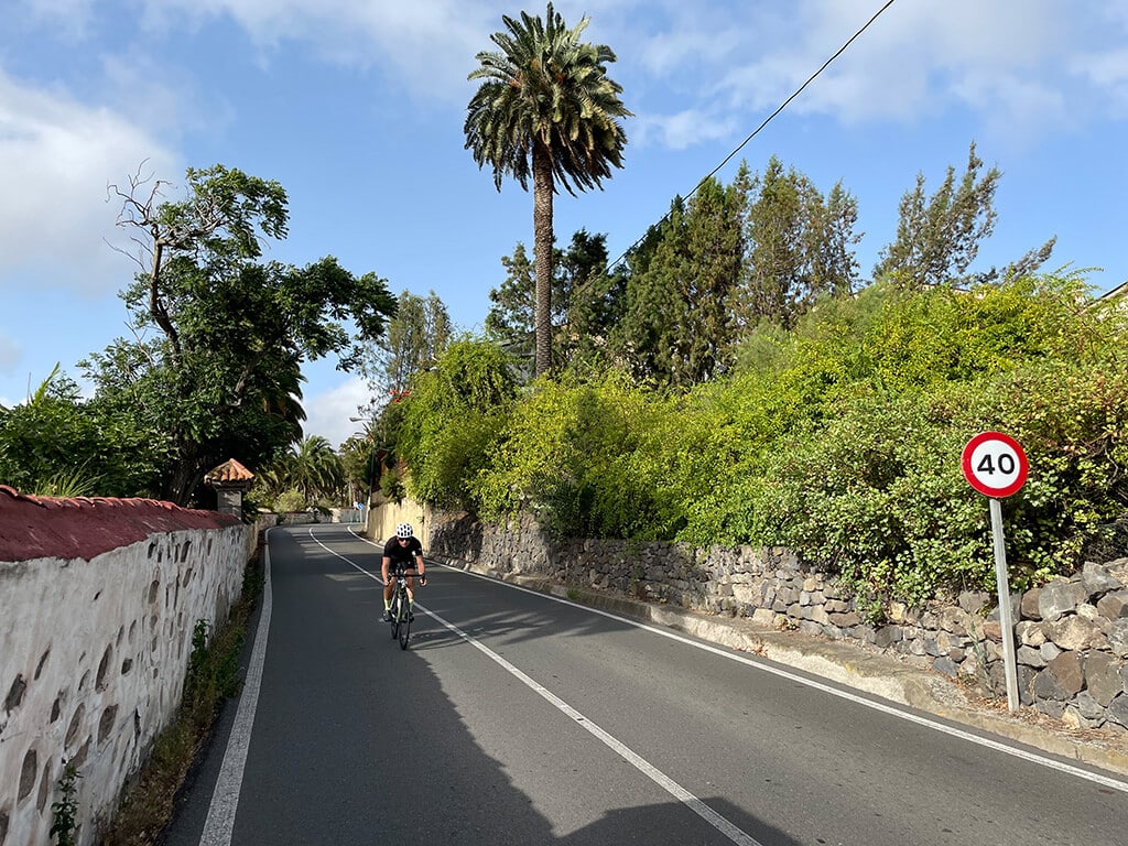
1. Las Palmas – Santa Brigida – Bandama

Downhill in the direction of La Calzada
We then descend past the Jardin Canario towards the village of La Calzada, where we turn onto GC 320 to reach the Barranco de Guiniguada.
You are currently viewing a placeholder content from Google Maps. To access the actual content, click the button below. Please note that doing so will share data with third-party providers.
More InformationStart at Santa Ana Cathedral
Starting from the beautiful old town of Las Palmas, the uphill GC 110 takes us past Gran Canaria’s traditional Tropical brewery towards Santa Brigida.

Downhill in the direction of La Calzada
We then descend past the Jardin Canario towards the village of La Calzada, where we turn onto GC 320 to reach the Barranco de Guiniguada.
Dreamlike view in green valley landscape
Once there, the GC 320 leads us over a small valley bridge with a fantastic view of the green mountain landscape of Gran Canaria up the barranco to the next picturesque mountain town of Santa Brígida.
Café El Despacho
Arriving in Santa Brígida, our first stop and well-deserved break awaits us at Cafe El Despacho.
View from the church square
After our refreshment, another fantastic view of the green nature of the Canary Islands mountain landscape awaits us at the church square.
To Atalaya
After we have refreshed ourselves, our tour continues towards La Atalaya and the Bandama region, the wine-growing area of Gran Canaria.
La Atalaya with the view over wine-growing area
Arriving at La Atalaya, we are rewarded with a fabulous view over the wine-growing area of Gran Canaria.
Towards the Caldera de Bandama
We continue to one of the most geologically significant calderas on the island, the Caldera Bandama, whose peak is the Pico de Bandama.
Pico de Bandama
To enjoy the breathtaking view over the Bandama crater and Spain’s oldest and highest golf course, we climb the 500m high Pico de Bandama together.
Back across the vineyards
From here we roll back across the vineyards to our starting point, the Santa Ana Cathedral in Las Palmas de Gran Canaria.
You are currently viewing a placeholder content from Google Maps. To access the actual content, click the button below. Please note that doing so will share data with third-party providers.
More Information


